Thursday, December 12, 2013
Well, that didn't work
Spokane's city govt has a neat GIS map showing all structures and dimensions, with some data on property ownership.
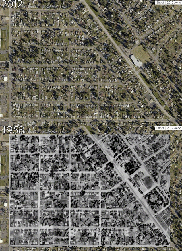
The map includes a 1958 aerial map for comparison. I've noticed before that this neighborhood, first settled in 1908, was pretty much completed by '58. The houses haven't changed much since then; main change is lots of little garden sheds and huge metal RV-size garages. Of course the huge RV-size garages don't hold RVs, just as the normal detached garages don't hold cars. All vehicles are parked in front of their intended shelters. A firm rule in Spokane, which probably accounts for our fine auto theft tradition.
Decided to try a blinky-graph GIF thing to show the sameness, but it didn't work very well. Color schemes and focus are too different. You'd think an airplane flying at 1000 feet would be able to focus better than a satellite flying at 100 miles. Nope, it's the other way around!


